15 Minutes
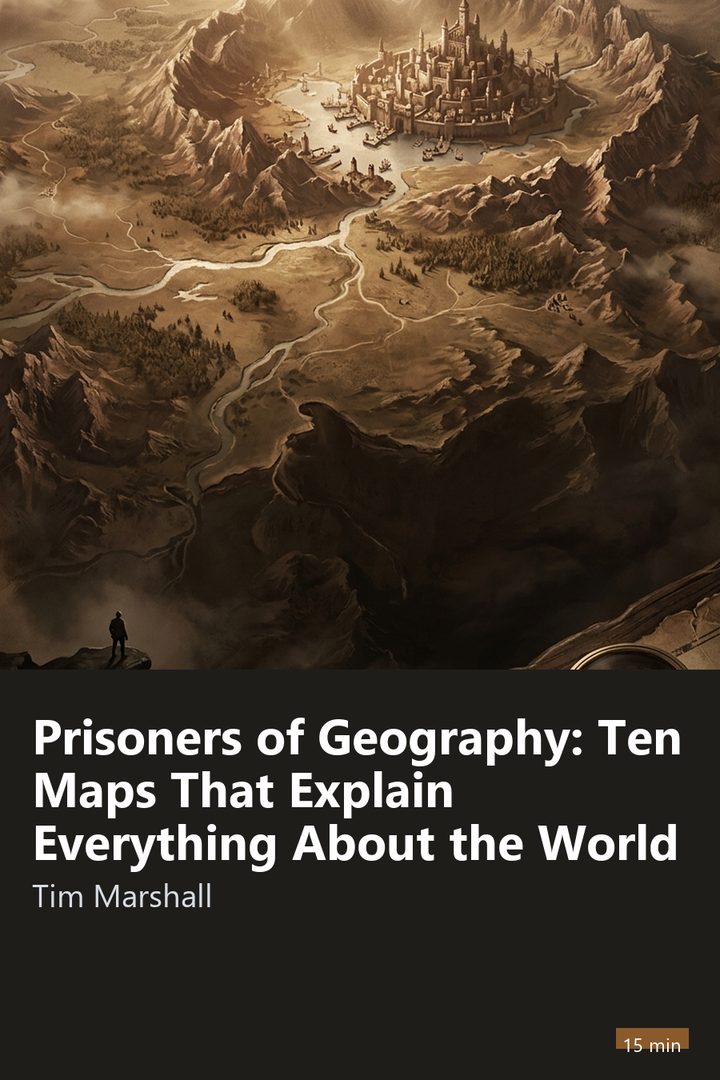
Cover of Prisoners of Geography: Ten Maps That Explain Everything About the World

Economy and Society · 18 min

Prisoners of Geography: Ten Maps That Explain Everything About the World

Tim Marshall · 2015

Who it's for

Recommended for anyone who wants to understand how terrain, rivers, and climate shape the conflicts and alliances that show up in the news. It is an enlightening read for students, international relations professionals, and anyone curious about the invisible forces that draw the map of global geopolitics.

Read it in the app

⚡ Free to download • 🎁 One full book free every day

🎧 Audio coming soon in the app

Narration for the English summaries is on its way. Meanwhile you can read the full summary in the app.

3 ideas to take with you

1

For the author, governments that occupy vast plains without natural barriers tend to spend more energy creating buffer states around themselves than nations protected by seas.

2

A nation's prosperity is usually accelerated when navigable rivers connect productive areas to the ocean at a low transportation cost.

3

Political lines drawn in straight strokes by outside powers tend to ignore human geography and generate conflicts that are hard to settle.

“
Whoever depends on narrow maritime passages to feed their own industry needs to project naval power beyond their own coast.
An idea from Prisoners of Geography: Ten Maps That Explain Everything About the World, in the words of 15 Minutes

Preview

Start reading now

The terrain that shapes the decisions of power

Political leaders, ideologies, and governments come and go, but mountains, rivers, and deserts remain where they have always been. Tim Marshall argues that world geopolitics is not an abstract invention of diplomats, but a direct reaction to the barriers and routes of the physical terrain. Those who govern must play with the map inherited from nature before proposing reforms or alliances.

Throughout history, rulers of opposing regimes have made identical decisions when faced with the same terrain. Geographic features spark constant fears of invasion or offer waterways that enrich a society for generations.

Recognizing oneself as a prisoner of geography means admitting that no nation has unrestricted freedom to chart its own course. A country landlocked between mountains or without access to the sea faces far more severe dilemmas of transportation and defense than a territory protected by oceans and fertile plains. The physical map sets the board on which politics merely moves the pieces.
The Great European Plain and Russian paranoia

The map of Russia explains its historical fear of Western invasions. From Poland to the Ural Mountains stretches the Great European Plain, a band of flat land without natural barriers capable of stopping an enemy army. Through this corridor marched Napoleon's troops in 1812 and the Nazi divisions in 1941.

To compensate for this terrain fragility, Russian leaders have always sought to push their borders westward. Creating a buffer state in neighboring countries and securing strategic depth have been defense imperatives in Moscow for centuries. If the enemy must cross hundreds of miles of plain, the winter and stretched supply lines weaken it before the fatal blow.

Russia's other drama is the lack of warm-water ports open all year round. Much of the northern coast freezes in the Arctic winter, while the exits through the Baltic and Black Seas depend on narrow passages watched by rivals. The annexation of Crimea in 2014, with the naval base at Sevastopol, answered the vital need to guarantee ice-free maritime access toward the Mediterranean.

China's wall and the dilemma of the seas

Continental China grew surrounded by solid natural defenses. To the south and southwest, dense jungles and the imposing Himalayan mountain range block any land advance from India. To the north and west, the Gobi Desert and arid steppes form immense shields that isolate the historic cradle of the Han ethnicity, fed by the Yellow and Yangtze Rivers.

This geography justifies Beijing's rigid control over Tibet and Xinjiang. The Tibetan plateau is Asia's water tower, where rivers crucial to Chinese agriculture and to neighboring countries are born. Dominating Tibet ensures abundant water and prevents rivals from installing military forces on the Himalayan heights.

China's great weakness today lies at sea. The country's industry imports most of its oil from the Middle East, and that flow must cross the Strait of Malacca. Fearing that rival navies could close this strategic channel in moments of friction, Beijing builds artificial islands in the South China Sea to guarantee sovereignty over its supply routes.

10 more sections and the quiz

Continue in the app

Read the whole summary, finish with the Prisoners of Geography: Ten Maps That Explain Everything About the World quiz and follow the guided Journeys. No ads in the app.

About Tim Marshall

Tim Marshall is a British journalist, writer, and analyst specializing in foreign affairs and geopolitics. He worked for more than twenty years as a correspondent and diplomatic editor for networks such as Sky News and the BBC. During his career, he covered wars and political crises in more than thirty nations, including conflicts in the Balkans, Afghanistan, and Iraq. In addition to Prisoners of Geography, he has published other geopolitical analyses with global impact, such as The Power of Geography and Divided.

Explore

Part of the Journeys:
How Power Works